 ROCKHOUND SCOUT
Find rockhounding hotspots anywhere in the U.S.
Simple Search Controls
Map Navigation
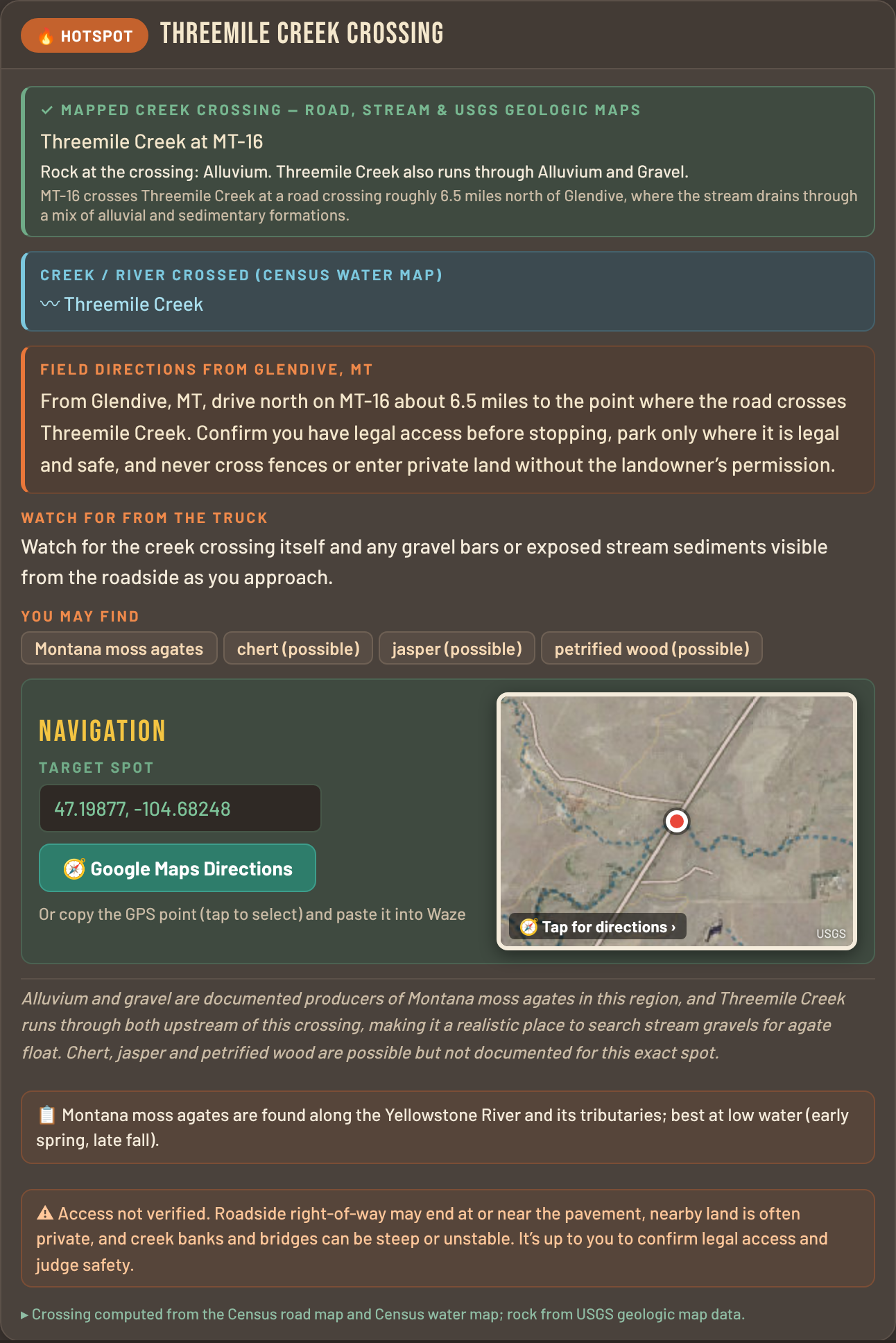
Sample Hotspot Card
I built this app for myself and have used it in the field for quite a while now. I recently decided to share it. The powerful Custom search ability has earned a permanent spot in my rockhounding kit. It’s a tool no serious rockhound should be without!!!”
— JT
- No subscriptions or recurring charges — nothing to cancel
- Scans never expire
- Custom Scans (the secret sauce) included with purchase — no upgrade required
🎁 Try it first — get 2 free scans with your email ↓
How it works
- Name a place anywhere in the U.S. A town, landmark, or your hotel’s address works. Add what you’re hunting if you know: “agate near Quartzsite, AZ,” “creek crossings near Keokuk, IA,” or “anything on Hwy 101 south of Newport, OR.” Not sure what’s there? Just ask “What can I find near Llano, TX?”
- The app reads the maps. It surveys which rocks lie in your area and what each one is known to produce, then checks the geologic map along every road and finds the creek crossings that sit in the best rock. Creeks cut down through the formation and wash the good stuff out — that’s where minerals, fossils, and petrified wood concentrate.
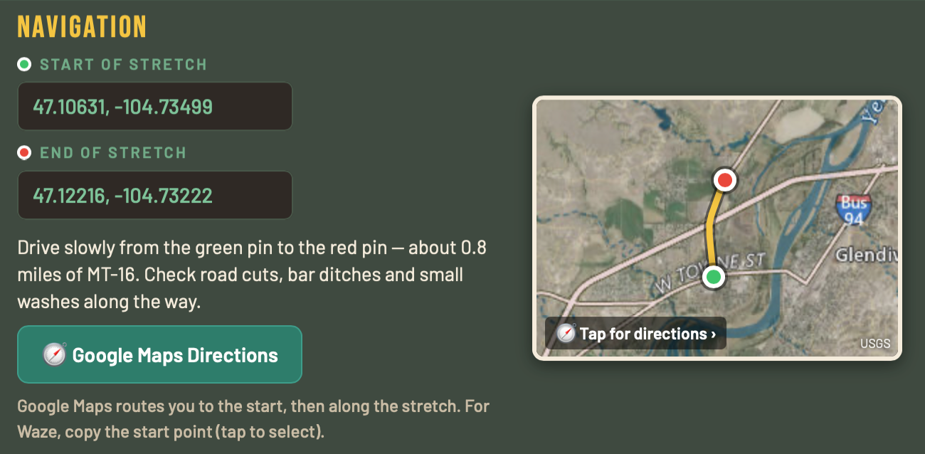
- You get Hotspot Cards with Map Navigation. Each card gives the rock at the spot, the creek or river crossed, driving directions from a nearby town, what to look for from the truck window, and likely finds. The Navigation box shows the spot on an aerial map: one pin for a creek crossing, or a green start pin and a red end pin for a road Stretch you drive slowly. Tap the map or the Google Maps button for turn-by-turn directions, or copy the GPS point into Waze. You can also print your Hotspot Cards or save them as a PDF.
What’s in it
All 50 states
From Texas petrified wood to Oregon agates, Iowa geodes, and New York’s Herkimer diamonds — every state is covered. Find hotspots near you or anywhere in the country.
Custom search
This is a powerful tool. Any spot in the U.S. Type a town, address, highway, or what gems/minerals you’re hunting. Narrow it with “within 10 miles,” “on Hwy 281,” or “west of town.” Included at no extra charge.
Map-based locations
Every spot comes from published geologic, road, and stream maps — creek and drainage crossings, and proprietary search criteria.
Informative & helpful write-ups
Top-shelf instructions, tips, and data for every hotspot — nothing generic or boilerplate.
Real finds
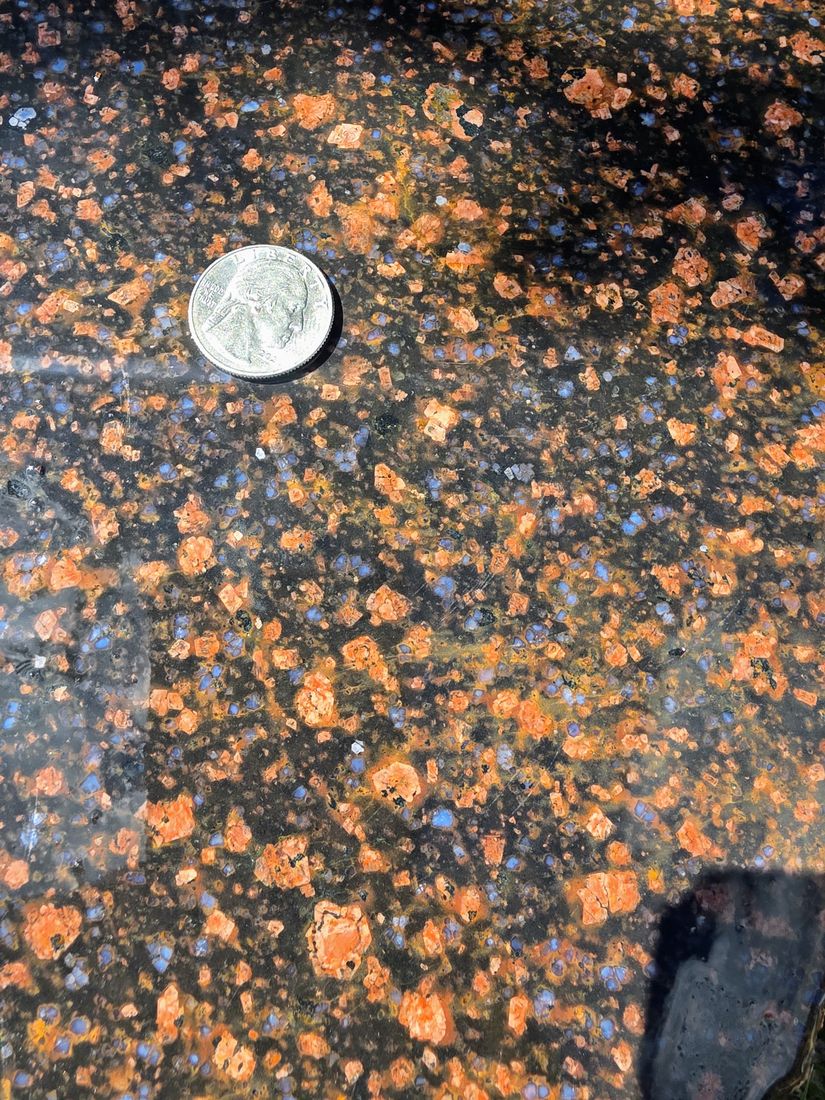
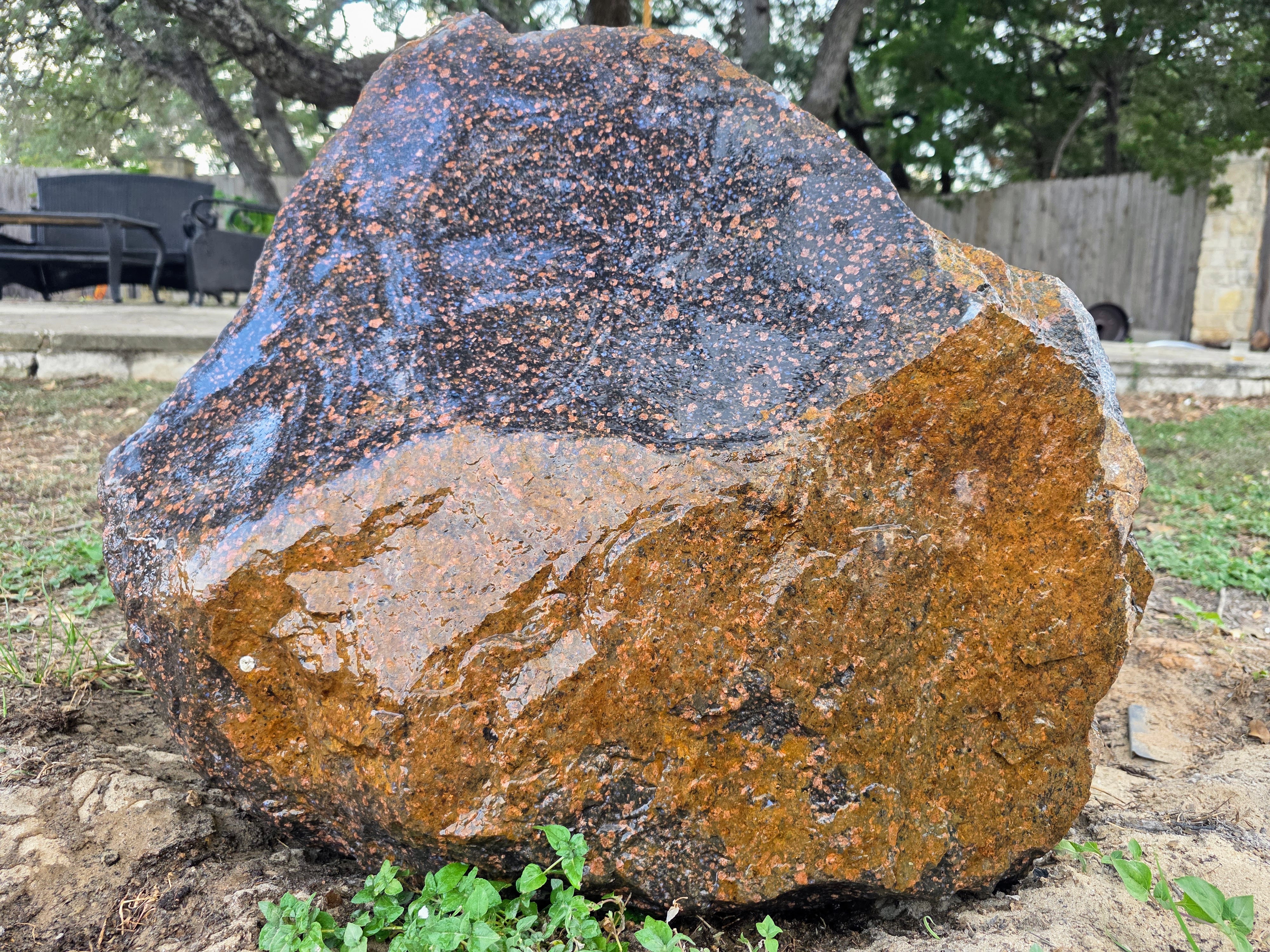
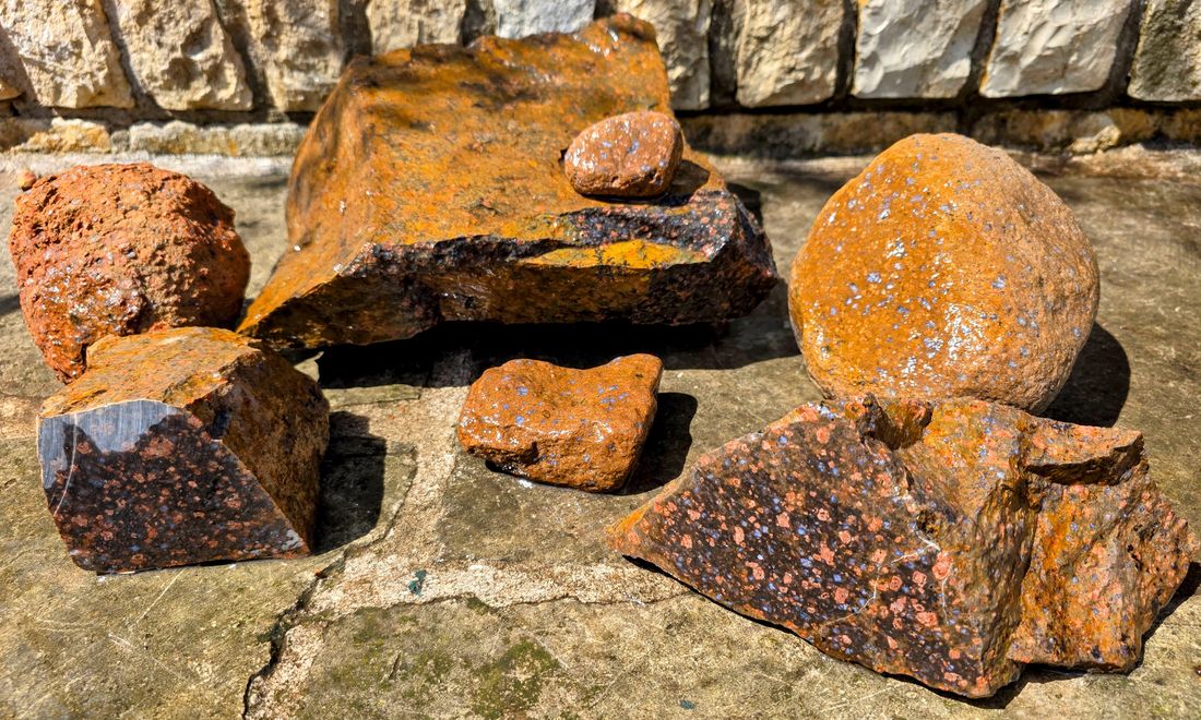
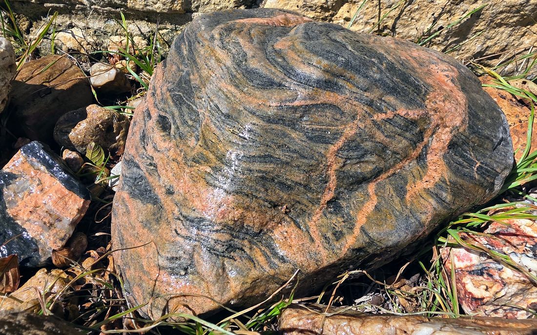
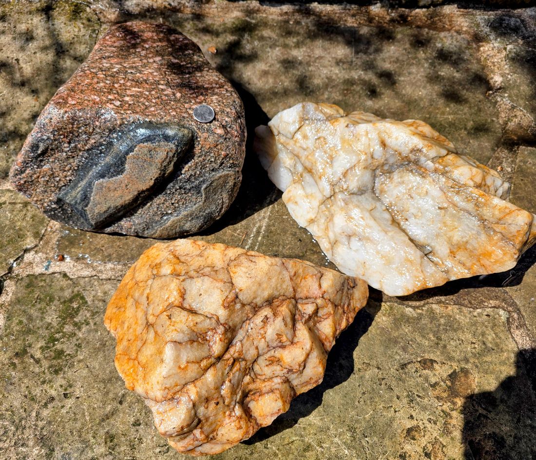
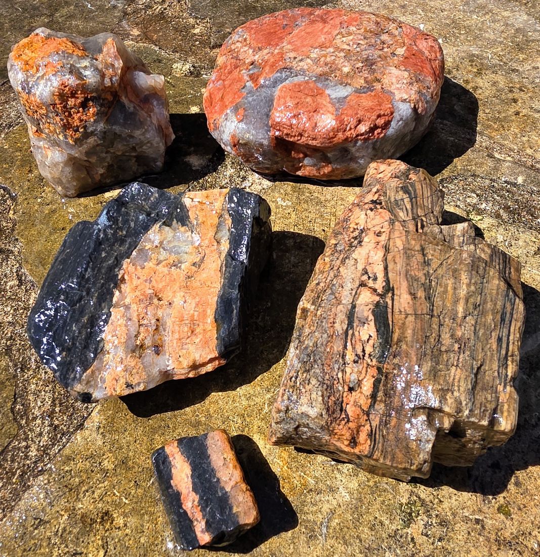
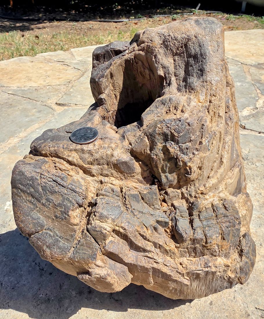
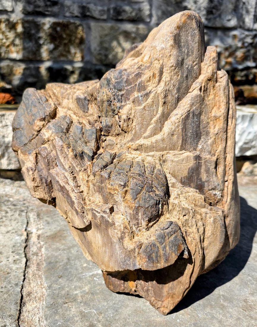
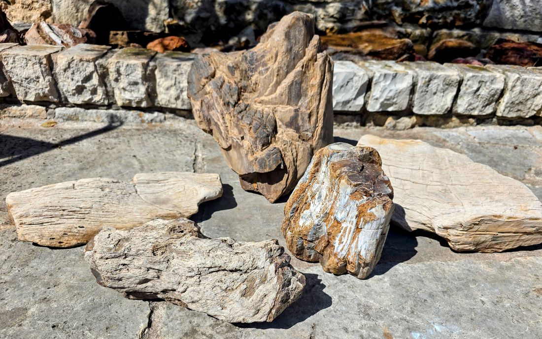
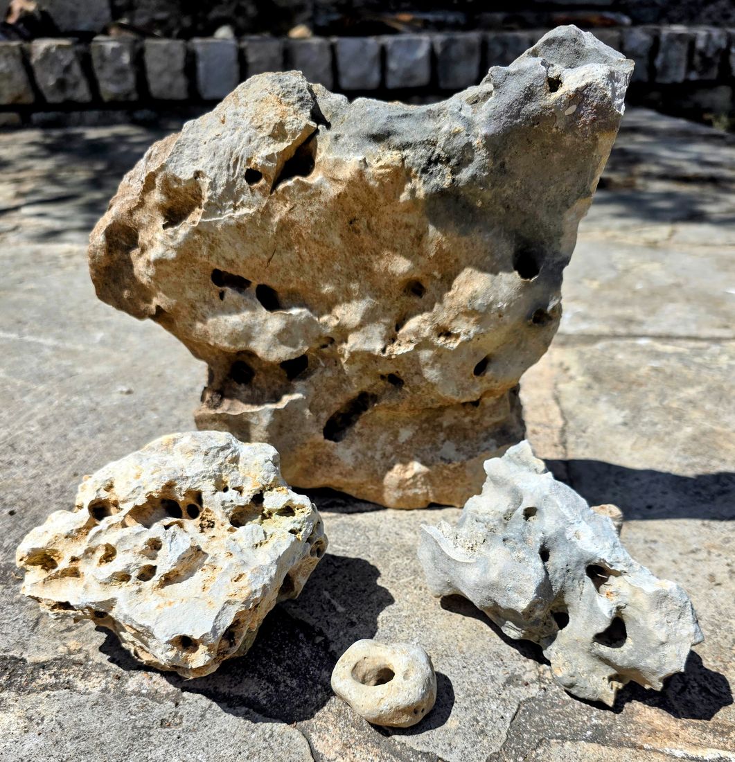
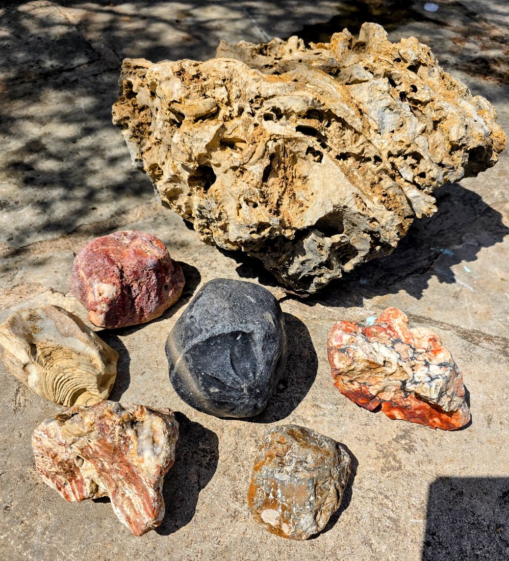
No stock photos here. These are the owner’s found treasures, pulled straight out of the ground by chasing similar Hotspot cards all over the great state of Texas.
Try it free
Enter your email and we’ll send you to the app with two free custom scans waiting — no card needed.
You’ll also get our weekly Rockhound Scout email with new hotspot ideas. Unsubscribe anytime with one click. One free offer per email.
Pricing
- 200 scans, anywhere in the U.S.
- Custom area search included
- Scans never expire
- No subscription and no recurring charges
BUY 25 SCANS — $10
Already bought scans? Open the app and sign in with the email you used at checkout.
One “scan” is one tap of Find My Hotspots. A scan that ends in an error, or that finds no hotspots, isn’t deducted. See the Refund & Dispute Policy.
Disclaimer
This is a research tool, not a guarantee. Geologic maps can’t show every small vein or outcrop, so a marked stretch is a starting point: check both sides of the road nearby. Much land — especially in Texas — is privately owned, so always get the landowner’s permission before collecting, check the collecting rules on public land, park off the highway shoulder, and follow all traffic and land-use laws. Please read the Terms of Service.
Questions
Is this a subscription?
No. It’s a one-time purchase: $25 for 200 scans, or $10 for 25 scans. Nothing renews and there’s nothing to cancel.
Do scans expire?
No. Use them whenever you like.
What counts as a scan?
One tap of Find My Hotspots. If the scan ends in an error or returns no hotspots, it isn’t deducted.
Can I get a refund?
We don’t refund unused scans or change-of-mind purchases. If we charge you by mistake, a scan is wrongly deducted, or the app is broken for an extended period, we’ll make it right. Details are in the Refund & Dispute Policy.
Does it cover places outside Texas?
Yes — all 50 states. Rockhound Scout started in Texas as a tool I built for myself. It worked so well I expanded it to search anywhere in the U.S. Geologic maps are more detailed in some states than others, so results are strongest where the mapping is best.
Where does the data come from?
Rock formation data comes from Macrostrat, a public database that compiles published geologic maps from sources including the U.S. Geological Survey and state geological surveys such as the Texas Bureau of Economic Geology. Roads, creeks, and lakes come from U.S. Census Bureau and USGS maps, public land from the USGS Protected Areas Database, and place lookups from OpenStreetMap. On top of those, Rockhound Scout keeps its own map library built from these sources, and its own field list — what each rock formation in all 50 states is known to produce, compiled from published geology and my own time in the field. The app generates remarkable results and interesting details about the Hotspots it identifies.
How do I contact you?
Email RockhoundScoutApp@gmail.com.